Service Capability
Agricultural Drone Mapping
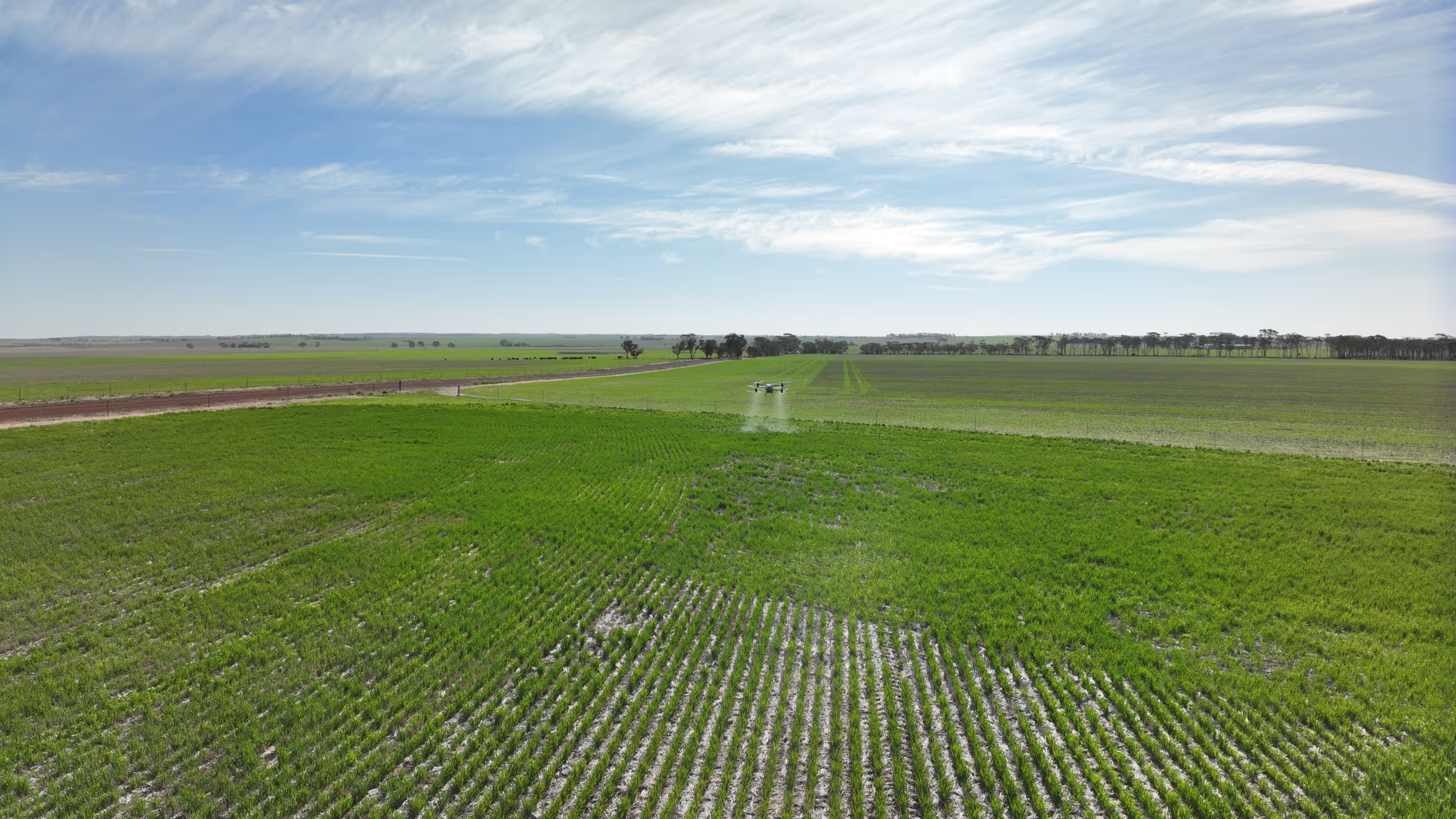
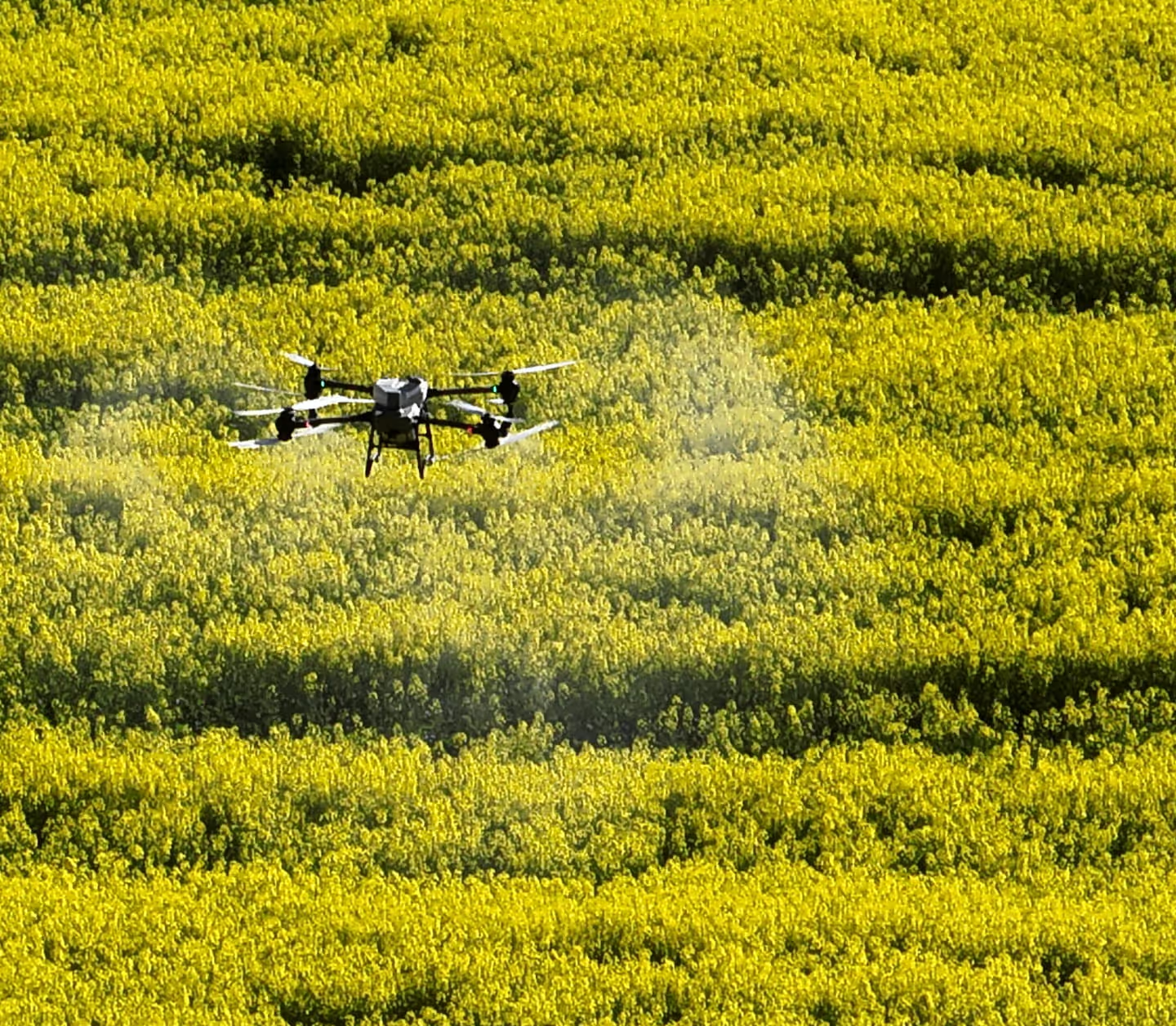
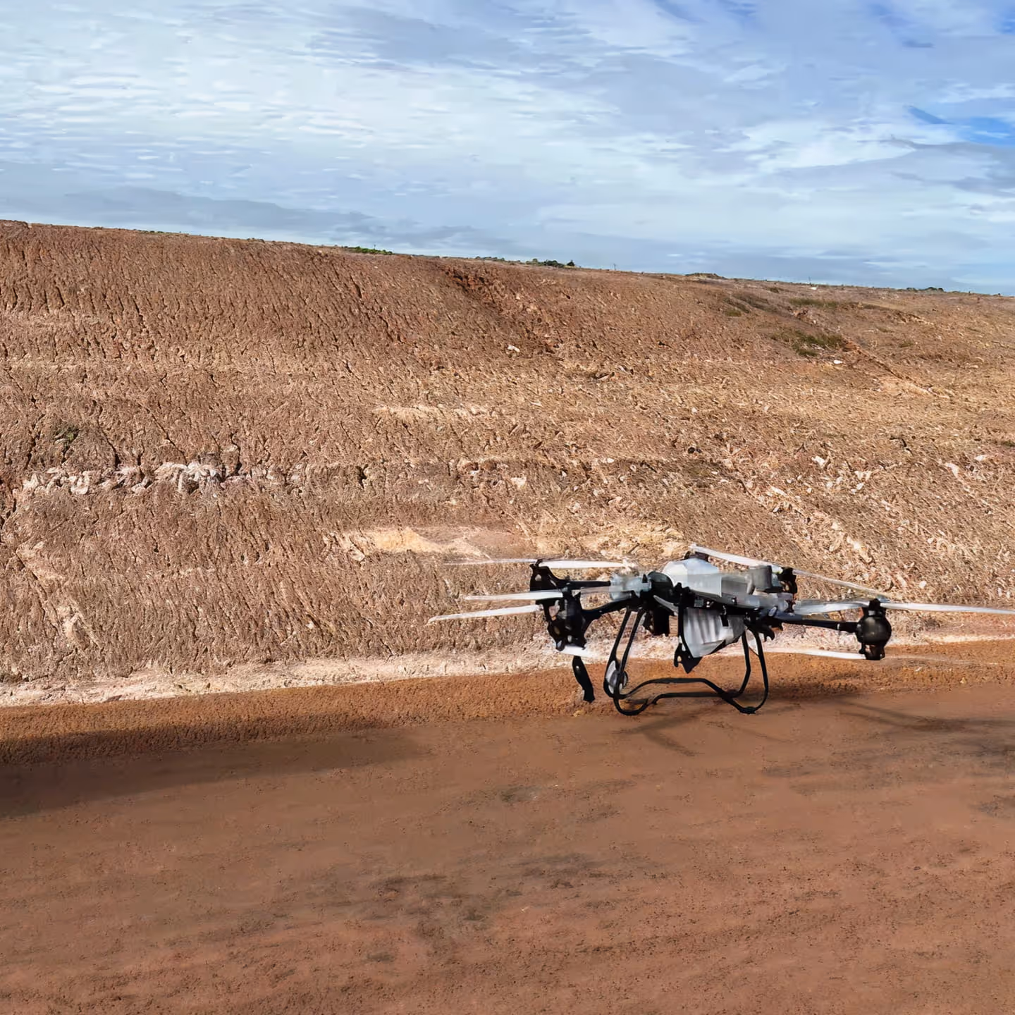
We deliver high-accuracy agricultural drone mapping services across Western Australia, providing actionable spatial data to support precision farming, land management and operational planning. Using enterprise-grade drones with RTK positioning, we capture consistent, repeatable imagery across broadacre, pastoral and rehabilitation environments.
.avif)
Our mapping outputs include high-resolution ortho mosaics, elevation models and vegetation condition data to identify variability, monitor crop and pasture performance, assess drainage and erosion, and support targeted input planning. Drone mapping enables rapid data collection over large and remote areas without disrupting crops or stock.
All operations are conducted in accordance with CASA regulations, with a focus on data accuracy, safety and practical outcomes suited to Western Australian conditions.
Core mapping capabilities:
- High-resolution ortho mosaic mapping
- RTK-accurate boundary and area measurement
- Crop and pasture condition assessment
- Elevation, contour and drainage modelling
- Weed and problem area identification
- Mapping data to support targeted and variable-rate applications
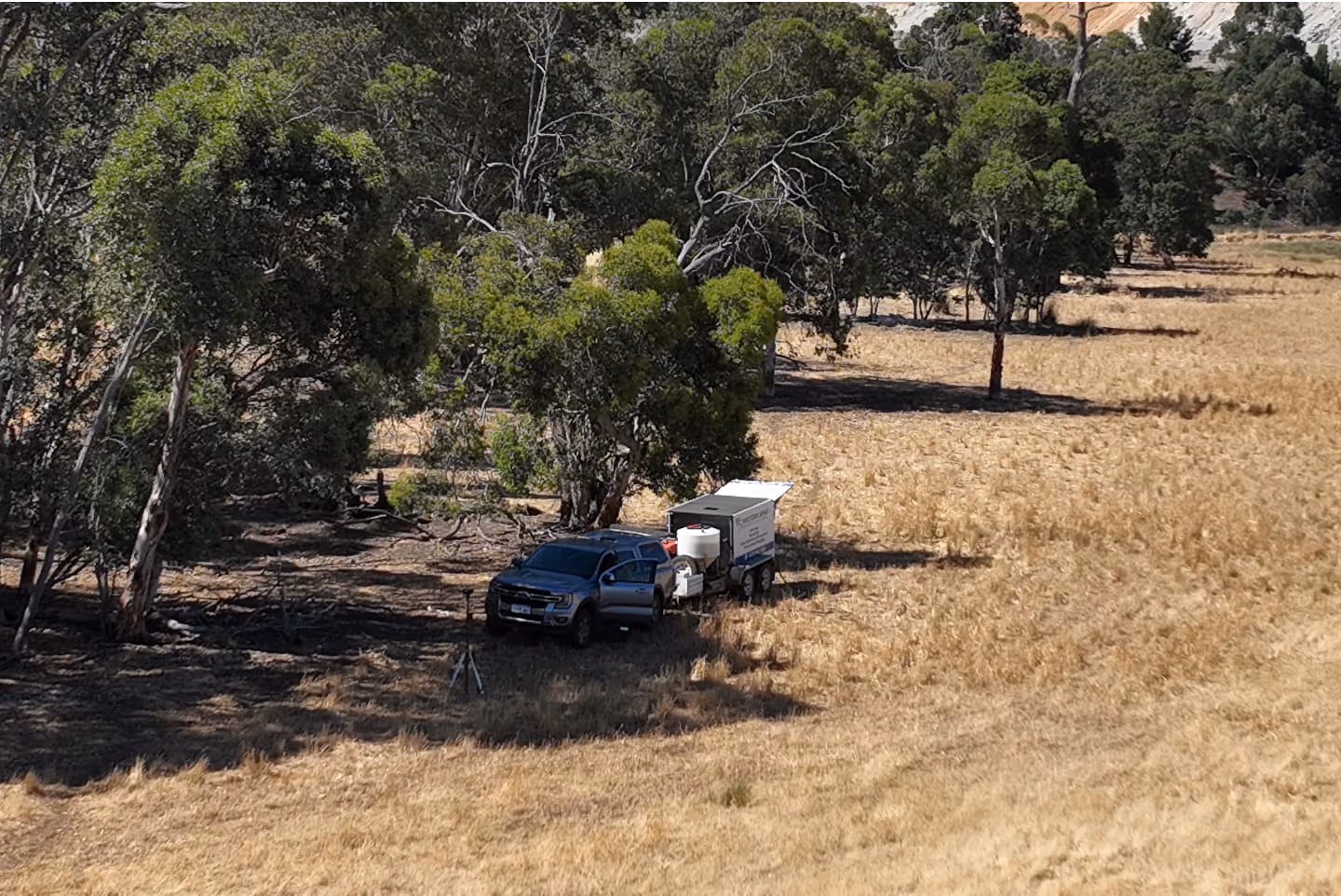
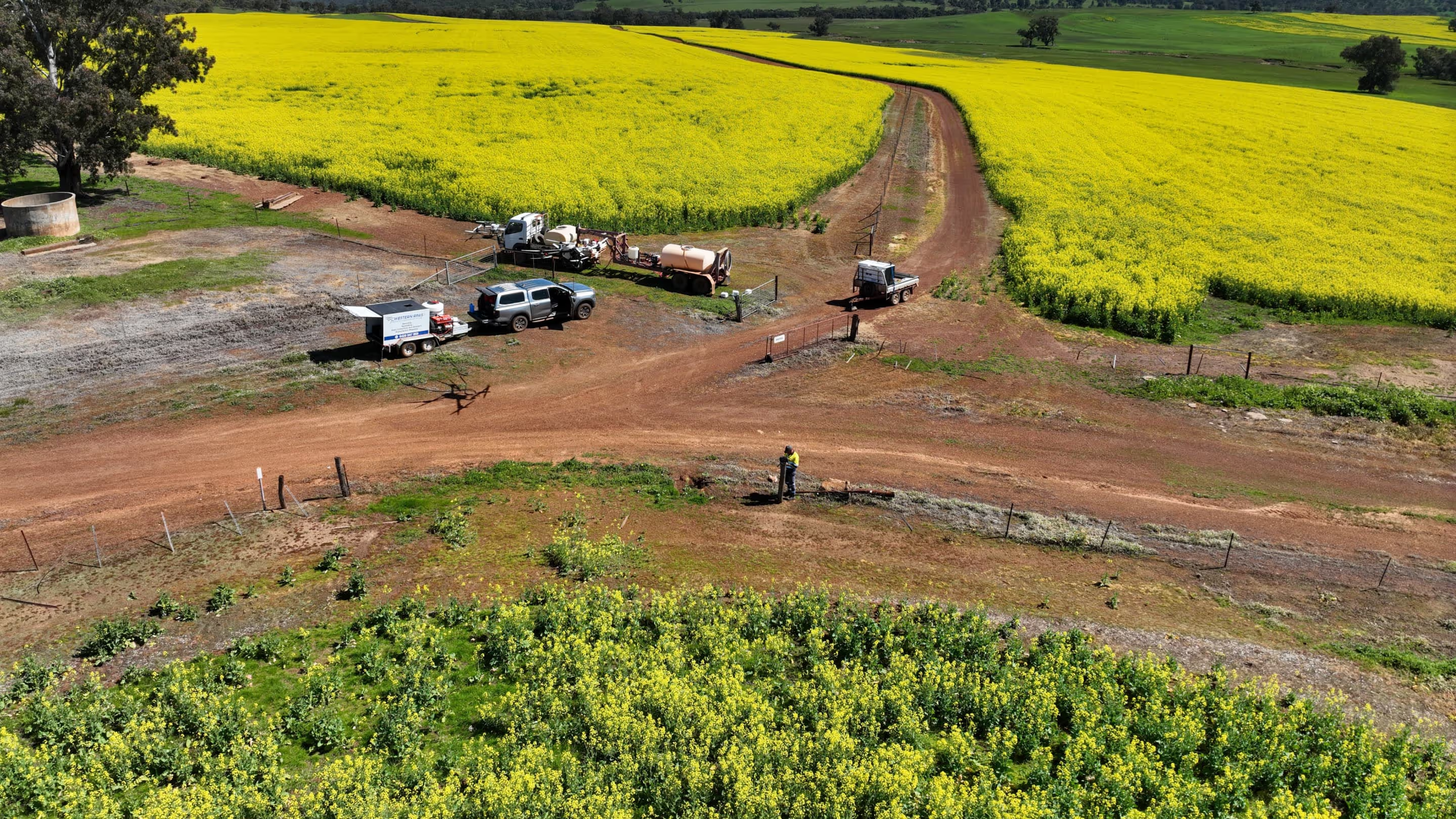
Services
Our Drone Service Capabilities
Certified aerial application, mapping and crop support for Western Australia’s unique farming conditions.
.avif)
Compliance
Certified, Experienced & Trusted
Our team is led by experienced, fully certified remote pilots who understand the realities of agricultural, horticultural, mining and rehabilitation environments. Every operation is carried out with strict adherence to CASA and Department of Health requirements, ensuring full compliance and peace of mind for our clients.
CASA ReOC Certified
Western RPAS operates under CASA ReOC 8971, ensuring all drone flights meet strict national aviation safety and compliance standards.
CASA ReOC Number
WA Department of Health Pesticide Company Licence
We hold a WA Department of Health Pesticide Company Licence, allowing us to legally apply agricultural chemicals with full regulatory compliance.
Dept. of Health Registration
Full GPS Flight Logging & Accountability
Every mission includes GPS-tracked flight logs and spray/spread coverage maps, providing transparent proof of application and compliance.
Heading
CASA Registered
Our pilots are registered under CASA ARN 1186202, confirming full accreditation to operate commercial unmanned aircraft safely and legally.
CASA Registration Number
Fully Insured
All operations, aircraft and applications are fully insured, providing complete protection and peace of mind for every project we undertake.
Heading
Partner With a Certified, Experienced Drone Team
Get safe, accurate and efficient aerial application delivered by fully licensed WA operators.